
Israel Railways (ISR) / NAN from VIA Consulting & Development GmbH · September 2018 to May 2022
The planning and project planning processes are based on up-to-date and accurate infrastructure data. This reduces project risk.
As a result, the plans were updated with the determined distances, and the recorded gradients were documented. Quattron engineering (NEXTRAIL GmbH) offers a powerful mobile mapping measuring device for 3D data acquisition optimised for measuring railway infrastructure.
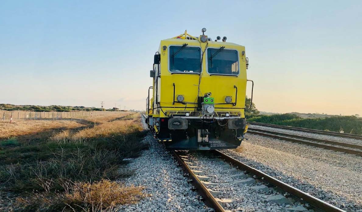
The measuring equipment can be temporarily installed on a train and consists of the following components:
- GNSS-based inertial navigation system
- Laser scanner as a detection system for point clouds
- Camera system for capturing images
Key areas of service
- Dynamic recording of the infrastructure using the TRAXIMIZER system
- Evaluation of the measurement data with regard to track axes and relevant elements (such as signals, axle counters, points, balises)
- Preparation of gradients for ETCS engineering
- Update of the plans (as-built)
Special features
A complete digital tool chain including measurement, planning and design for over 1,000 km of track.